Stevenson Waterfront Enhancement
Project Accomplishments
In line with the Port’s mission to drive economic growth for our county and our Comprehensive Scheme of Harbor Improvements, this project has:
- Created accessible viewing areas of the Columbia River Gorge
- Provided public access to the river
- Connected existing trails to make the riverbank and the city more accessible to pedestrians
- Maximized the connection between tourism at the riverfront and Stevenson downtown businesses
Waterfront Access and Amenities
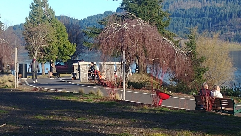
The shoreline restoration is complete. The project provided Stevenson with a new public access point to the river, a scenic river overlook, lighted walking paths with scenic vistas, and a trail that extends from the Boat Launch all the way west to Bob’s Beach. The path features signage, information kiosks, public parking, public restrooms, play structures, and public art installations.
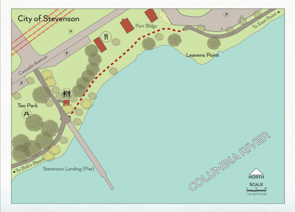
Waterfront Map
The map below shows Stevenson's waterfront along Cascade Avenue and the Columbia River. Teo Park and the Stevenson landing are west of Keaven Point. The waterfront path continues west toward Bob's Beach and east toward East Point. Parking is marked along Cascade Avenue and near the Port buildings. Restrooms are marked near Teo Park, and a picnic area is shown within the park.